Satellite Messengers
Stay informed anywhere
Add our number to your contacts and text us from your satellite messenger with your GPS coordinates. You'll receive real-time updates on nearby wildfires or current avalanche conditions, keeping you informed wherever your adventures take you.
Click to reveal the contact and phone number.
W of Ghitezli Lake
47km NE
Size: 56,039 ha
Status: Out of Control
Interactive Alerts
Get the information you need
Send a message with "fire" or "avalanche" and your GPS coordinates to the provided number, and TrekSafer will return the corresponding data to keep you informed.
Region-Specific Coverage
TrekSafer provides wildfire and avalanche data for regions where reliable information is available. While we aim to cover as many areas as possible, our service is limited to regions with supported data. If you need information for an unsupported location, feel free to get in touch.
Supported areas
- British Columbia, Canada
- Alberta, Canada
- Rest of Canada - Still testing
- United States
- COMING SOON
Frequently Asked Questions
Absolutely not! We know how expensive messages to satellite devices can be, so you'll never receive a message you didn't explicitly request.
We retain service logs, including your contact details, for 30 days to troubleshoot any issues. After that, they're automatically deleted.
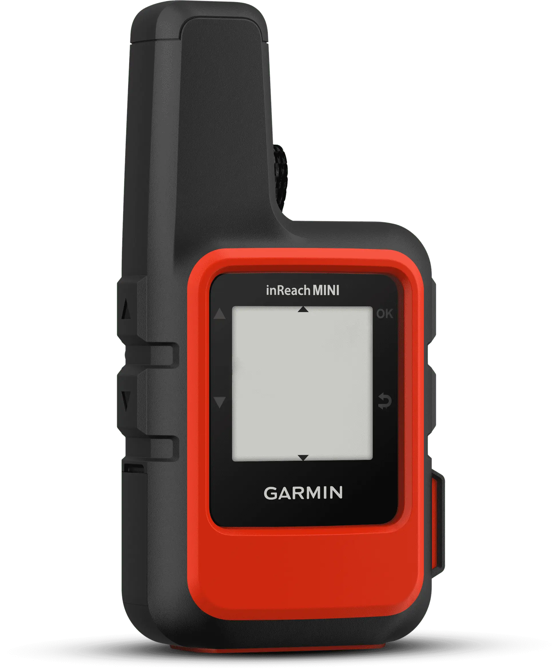
I've only tested this with a Garmin inReach Mini, but it should work as long as your GPS coordinates are included with the message. If you use a different device and it doesn't seem to be working, just email me at scott@treksafer.com, and we'll work together to confirm compatibility.
Yes, as long as you include your GPS coordinates in the message (For example: Fires (49.414785, -123.031679)). It should also support a map link, which is easier to share, but this isn't fully tested.
"GPS coordinates outside of supported fire perimeter area. No data available."